EAST FALKLAND
East Falkland accounts for over half the area of the Falkland Islands (6,605 sq. km, 2,550 sq. mi). It is made up of two distinct land masses about equal in size. The southern section is joined to the northern half by a narrow isthmus, a waist 2.2 km (1.4 mi) wide that separates Choiseul Sound and Brenton Loch Sound from each other.
The northern section has a mountain range curving NE to SW, the ‘Wickham Heights’ with the Falklands highest mountain Mount Usborne at 705m (2313ft). The landscape has underlying Palaeozoic quartzite and slate resulting in rugged landscapes and coastlines and poor acidic soils. There are many 'stone runs'. Away from the mountain ranges there is low undulating ground with pasture and morass, freshwater ponds, and small streams in valleys.
‘Lafonia’, shaped rather like the letter ‘E’, is the southern section and based on younger Mesozoic sandstone rocks leaving the landscape flatter. It is gently rolling and rarely rises to over 60m (196ft) above sea level. Stanley the only town is on East Falkland.
Original East Falkland Settlements |
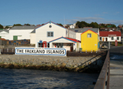 Stanley Stanley
|
 Darwin Darwin
|
 Douglas Station Douglas Station
|
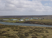 Fitzroy Fitzroy
|
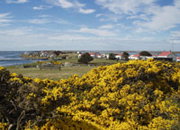 Goose Green Goose Green
|
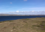 Greenpatch Greenpatch
|
 Johnson's Harbour Johnson's Harbour
|
 North Arm North Arm
|
 Port Louis Port Louis
|
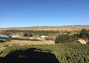 Port San Carlos (KC) Port San Carlos (KC)
|
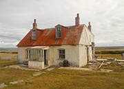 Rincon Grande Rincon Grande
|
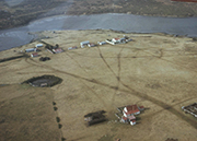 Salvador Salvador
|
 San Carlos (JB) San Carlos (JB)
|
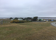 Teal Inlet Teal Inlet
|
Walker Creek, Can anyone supply photographs/ text please? |
 Mountains, East Falkland Mountains, East Falkland
|
 Rivers, East Falkland Rivers, East Falkland
|
 Islands, East Falkland Islands, East Falkland
|
|
|
Sources include: The Falkland Islands- Ian J. Strange
Can you add/ correct any information or supply photographs for this page, past or present? Contact: falklands.southatlantic@gmail.com
Photographic credits: Robert Maddocks, Derek Lee, Ailsa Heathman, Ian Barnes, Unknown- hope you don't mind
Photographs and Images Copyright: The images on this site have been bought under licence or have been used with the permission of their owners. They may not be copied or downloaded in any form without their owner's consent. |
     |
|
| |
|
| |

|
| |
| |
| |
|
| |
|
|
 |
Find out more about East Falklands camp heritage |
| |
| |
| |
| |
|

 Stone runs East Falkland - Robert Maddocks